Accurate
Detailed CAD or Building Information Models (BIM)
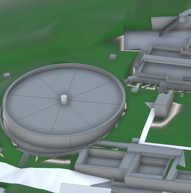
We use 3D laser scanners and/or drones to create accurate and detailed CAD or Building Information Models (BIM) in different formats that can be used in various projects from structures, construction sites, buildings to renovations, retrofits or refurbishments.
Building Information Modelling (BIM) is the creation and management of data through a building’s life cycle where intelligent REVIT models are used. We can create accurate 3D BIM models from surveyed laser scanning or drone data i.e. SCAN TO BIM.
Capture
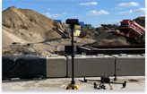
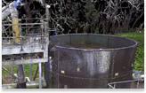
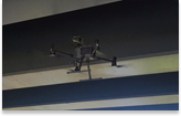
3D laser scanning or drones
3D laser scanning or drones are ideal for quickly capturing large sites, buildings or structures in high levels of detail. With this information our modellers can accurately re-create the as-built project using BIM software e.g. Autodesk Revit. This intelligent 3D model can be manipulated, changed, analysed and adapted by the user.

Building Information Modelling (BIM)
Building Information Modelling (BIM) can be used for:
- The initial as-built BIM 3D model can be used as the primary BIM model, which can be manipulated, changed, analysed and adapted throughout the project life cycle.
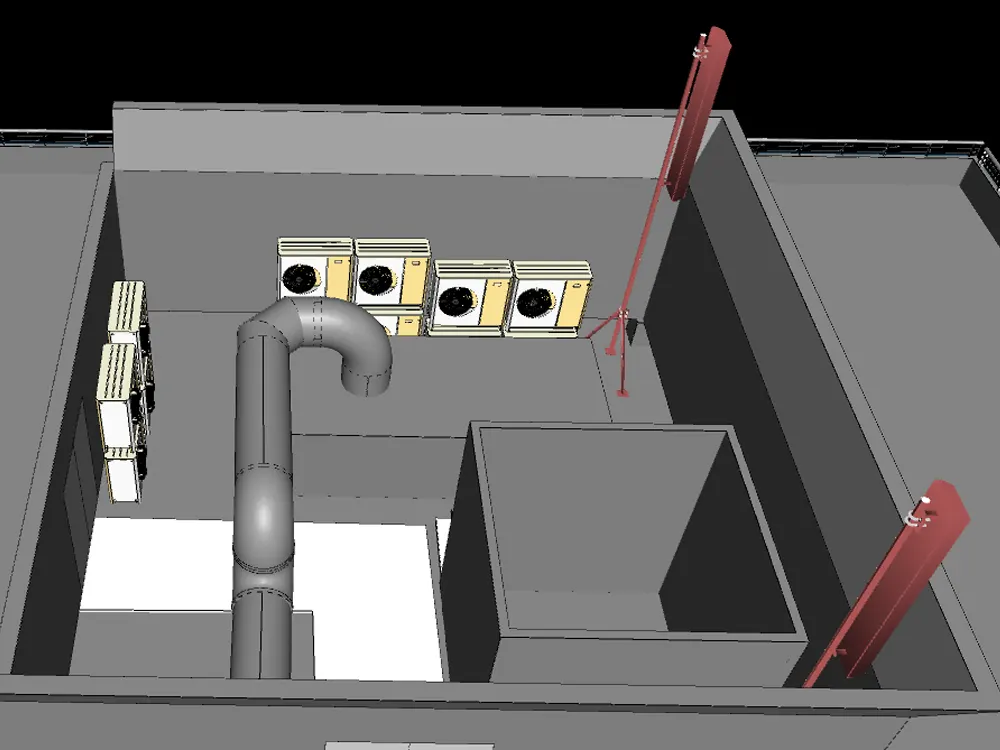
- Mechanical Electrical Plumbing (MEP) – using the scan data to identify the position of MEP, specialised software can then be used to accurately create an intelligent 3D utilities plan.
- It highlights any clash detection in design and reduces significant changes during the construction stage.
- Topographical surveys for Revit terrain on new build or existing sites.
- Structural surveys of bridges, culverts, viaducts for management, maintenance and design
- Marketing and Media – models can be visualised and rendered for use in promotional campaigns and media releases